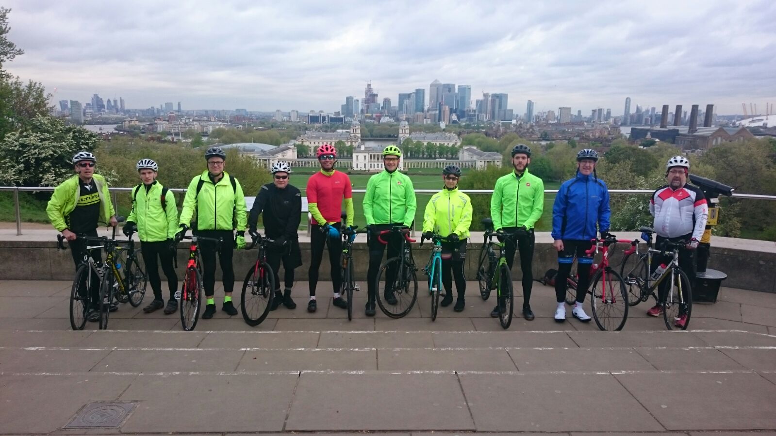
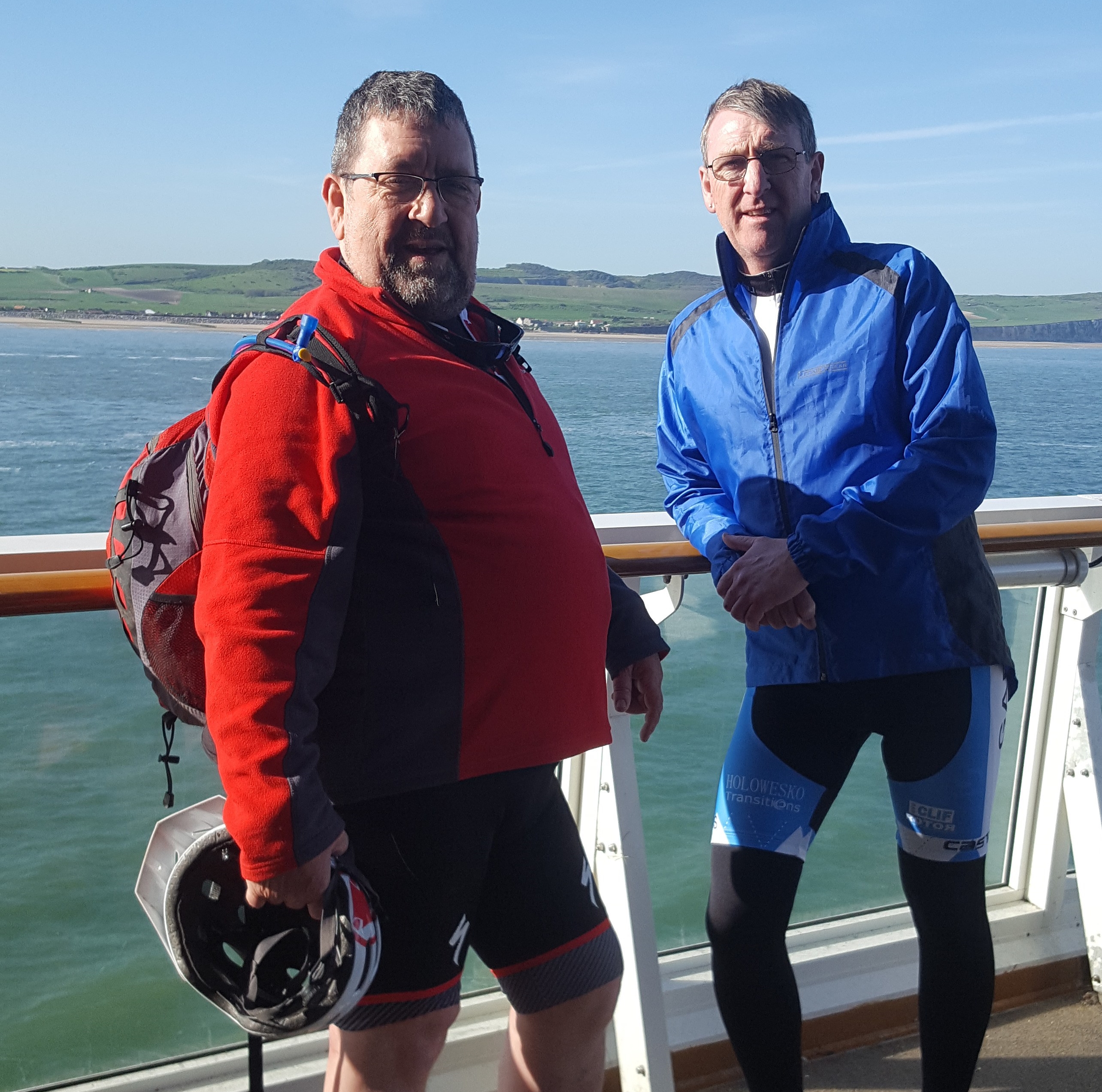
Friday 20th March – Sunday 22nd March 2020

The Great Glen Way is a 78 mile cycle route which starts in Fort William and finishes in Inverness. The Great Glen is actually a series of glens filled by lochs which are linked by the Caledonian Canal. The Caledonian Canal was designed by Thomas Telford and completed in 1822. We would be doing this over three days as there is much to see and do. Our thinking was that it would give us a little more time to enjoy the journey. Mountain bikes were our preferred choice of transport, mainly because of the terrain and we would also be cycling most of the high route used by the hill walkers. Vehicle support was also a must on this trip as we couldn’t carry everything we needed on the bikes. Even before we set off, we were encountering some problems due to the Covid 19 pandemic. A couple of the guys decided to pull out of the trip for safety reasons. Brian, Dougie and myself thought that as everything was already booked, we would give it a go. We could only hope that we would be able to finish it before the anticipated “Lockdown” was announced by the government. We set off for Fort William on Thursday afternoon, we wanted to get an early start on the Friday morning. We arrived in Fort William earlier than planned, the roads were very quiet and so it was out for a bite to eat washed down with a few beers. Our accommodation for the night was the Imperial Hotel and what a nice place to stay. A good nights sleep. a full English breakfast and we were ready for day one.

Day 1 Fort William – Fort Augustus
We headed out of Fort William, cycling through a couple of housing estates, over the old wooden Soldiers bridge that crosses over the river Lochy. In the distance you can see the ruins of Inverlochy Castle and the towering Ben Nevis. We continued along the road which leads to the bend at the head of Loch Linnhe, there, you can get great views right down the loch. Eventually the way crosses a bridge and then doubles back to the Caledonian Canal. You are now cycling along the canal towpath and on this particular day, we were also cycling into a very chilly headwind.


A little further along, you catch your first glimpse of Neptune’s Staircase. This is a series of 8 locks built in the early 1800’s, that take the canal up to a height of 19.5 metres along a 457 metre stretch of the canal. It takes a single boat around 90 minutes to pass through all of the 8 locks and it really is an impressive piece of engineering. The canal was originally built to allow cargo and fishing boats to cut journey times from the west to east coasts of Scotland. The canal was also supposed to help stem the flood of emigration from the Highlands which had started in the 1700’s by providing construction work and jobs for the local people. Today the canal is mainly used by tourists and leisure boats.

Continuing along the towpath, the River Lochy now comes into view. Eventually the towpath crosses the Sheangain Burn on a three-arch aqueduct, the Glen Loy aqueduct. It has three arches, the outer arches span 10 feet and the middle 25 feet. The river runs through the middle arch and the outer arches are paved with cobbles for pedestrians. The tunnels are approximately 260 feet long under the canal, but it doesn’t seem that when you are cycling over it. Continuing along the towpath we reach Moy Swing Bridge. This is a cast iron bridge which was actually made in Wales before being assembled on the canal. In order to open it, the keeper has to open the south leaf first and then row across the canal to open the north leaf. I met one of the operators who was carrying out some maintenance on the bridge. She told me that even now, they still row across the loch every time the bridge has to be opened. She gets lots of tourists taking photos when she sets out to cross the loch in her rowing boat.


Glen Loy Aqueduct and the Moy Swing Bridge
We continued cycling along by Loch Lochy, this is the third deepest loch in Scotland and is said to be the home of Lizzie, a sister of Nessie.


The route then takes you through Loch Arkaig pine forest. The woods here are a mixture of oak, birch, elm, rowan, hazel as well as commercially planted conifers. The forestry commission have erected information boards telling you all about the inhabitants of the forest. “Pine Martens” I said, to which Brian’s reply was, “No chance of seeing one of them”. He was right, these animals are shy and primarily nocturnal. We did see a red squirrel, unfortunately he wasn’t in the mood to have his picture taken and we soon lost sight of him in the thick foliage.


We stopped for lunch at the Lagan Lochs, there are no cafes round here. Dougie had to drive to Invergarry to acquire our lunch, which consisted of cheese and ham rolls, a chocolate bar and irn bru. We were now cycling along the line of the old railway from Spean Bridge to Fort Augustus that was opened in 1903. It was intended to be the start of a cross-country link to Inverness but as is the norm in Scotland. this never happened. The line closed to passengers in 1933 and was last used during World War Two before they dismantled it. “Why”? I will need to read more about this. We were now on the east side of Loch Oich heading towards Letterfeirn Nature Reserve. We passed by the old abandoned cottage and further up the path you can view the ruins of Invergarry Castle.


At the end of the loch the route follows the Caledonian Canal to reach the A82 at Aberchalder Swing Bridge. Directly opposite is the Oich Bridge, this is a double cantilevered bridge which was built in 1854. The bridge is maintained by historic Scotland and no traffic is allowed to cross over it anymore. We were supposed to cross over and cycle down the south side of the path. Unfortunately we were unable to as the canal trust had closed the pathway for repairs. With only a few miles to reach our overnight stop in Fort Augustus, we decided to cycle this remaining section by road. Day one done and dusted, we had cycled 35 miles and climbed a total of 1,372 feet.


Day Two, Fort Augustus – Drumnadrochit.

We had stayed the night at the Loch Ness guest house in Fort Augustus and once more a very nice place to stay. We hadn’t a great deal of miles to cover today, instead we had a lot of hills to negotiate. Before heading out of Fort Augustus, we stopped at the garage to stock up on supplies for the day ahead. Although we had Dougie driving the support car, we would be taking the high route which is mostly used by the hill walkers, so we decided that it was best to buy lunch now and take it with us. We crossed over the bridge saying goodbye to the Caledonian canal, the next time we would see it would be in Inverness. Over an old wooden footbridge began the first climb of the day and it was steep. To steep to cycle, so some pushing was required. A bit further on we joined a forest track and once we got through that, our first view of Loch Ness.


We continued along the path which sort of zig zags all the time. This makes it easier when you are cycling up the steep bits, but tricky when you are cycling down as some of the turns are tight. If you were to fall off here, you’re falling into the trees and that’s going to hurt. The path keeps on going and there are gaps in the tree line where you catch some cracking views over Loch Ness.


Continuing along the path we crossed over Portclair Burn, shortly after that we started the descent down into Invermoriston. The descent is steep but through the trees you can catch your first sight of Invermoriston Lodge. We had planned to stop for lunch at Invermoriston but as it was still early we decided to keep going.


We left Invermoriston and were supposed to cycle up the road which leads to the forest. Unfortunately the road was closed for re-construction work. We checked for an alternative route but couldn’t find one so we had to squeeze the bikes through the plant machinery and walk up the hill. We reached the marker point and again we were taking the high route. The path reaches the top edge of the forest and then runs to the right alongside a stone wall. The path climbs even higher and is boggy in places but the views over the hills are tremendous. At last we started a short descent and crossed the footbridge over the Allt Cuinneag.


The route now makes a steady ascent through scattered forest. It ends at a large grassy area where we decided to stop for lunch. We did plan on stopping for lunch at the Viewcatcher, problem was that we didn’t know how far that was and we were hungry. Whilst eating our lunch we met another cyclist who told us that it was just another few hundred yards up the path. “Bloody typical”. Oh well, atleast we were out of the wind for a bit. After lunch and a few hundred yards further up the path we arrived at the Viewcatcher. If you ever get the chance, you have to see this, the views from up here are something else.


More climbing after that, then downhill for a bit into the glen of the Allt Saigh. The path then runs to the top edge of the forest, crossing the rustic Troll bridge over the Allt Ruighe Bhacain. Beyond this it climbs very steeply, we had to push the bikes up this bit, it was hard going. Once you are at the top there is a curved stone wall and a superb viewpoint overlooking Loch Ness,


I can’t really put into words what it feels like being up here, it’s like the top of the world. being in amongst the clouds. The photos i have added below don’t really do it any justice. you have to experience this yourselves.


That was the last climb of the day, from here on it was downhill all the way to Drumnadrochit. The first part was tricky in places, i’m not an experienced mountain biker, Brian told me to follow the line he was taking and stay away from the edges, eventually we reached the bottom at Grotaig. Now we were back on a road which crosses over some moorland and it descends rather sharply in places. I was getting to carried away and missed a left turn onto a bridal track, which then leads down onto the main road and into Drumnadrochit. Day two completed, we had cycled 22 miles and climbed 3.023 feet.
Day Three, Drumnadrochit – Inverness.

We stayed the night at the Loch Ness Drumnadrochit Hotel and due to the covid 19 lockdown, the restaurant had closed. That meant we had to order room service and eat in our rooms, which wasn’t a problem. Breakfast in the morning was a spacious affair as there was only the three of us. The staff at the hotel were superb and gave us some sandwiches for lunch to take with us. Only 23 miles to Inverness and it started with a very steep climb up into the forest. We managed to cycle the first bit, then it got really steep and slippy, so we pushed the bikes up the zig zag slopes until we reached the old fire road. We managed to get our final views over Loch Ness and seen Urquart Castle in the distance. Urquart Castle was one of our many planned places to visit. Unfortunately due to the covid 19 scenario it had closed.

A little further up the track, we had reached the highest point of the Great Glen Way. There was still a lot of snow on the ground, so you had to be careful and watch the line you were taking. We had another decision to make as you can take the scenic route which passes the reconstruction of an iron age house or take the shorter route. As time wasn’t a problem we opted for the scenic route.

The scenery up here is spectacular, with views right over to the Cairngorms. We were now on some downhill sections and the paths were quite easy to cycle, the only thing you had to be careful of was overhanging branches. This path crosses farmland and passes the cafe at Tomachoin, which is well signposted. “Great”, we thought, “could do with a cup of tea and a slice of cake”, it was closed!


Onwards and eventually the Great Glen Way turns off onto a specially made path to the left of the main road. Cycling over the open moorland was made easier with the tail wind. We entered another forest section which was wet, muddy in places and very slippy. This was all downhill and fast, i enjoyed this bit, but we were covered in mud when we reached the bottom. Inverness was now in sight, it was just a case of navigating our way to the finish line at Inverness Castle. Yes, you’ve guessed it, we missed the turn off for the castle and ended up cycling right down the promenade. Realising our mistake, (via a quick phone call to Dougie, who was wondering where we were) we made a u turn and headed up the road towards the castle. Day three, 23 miles cycled and a total of 1,784 feet climbed. Another adventure completed and it had it’s moments. This covid 19 pandemic is serious, the whole country is now in “Lockdown”. We were just able to complete our journey, we don’t know when we will be able to go on another. All our cycle trips that we had planned for the year have now all been cancelled. Till the next one, Stay Safe everyone.


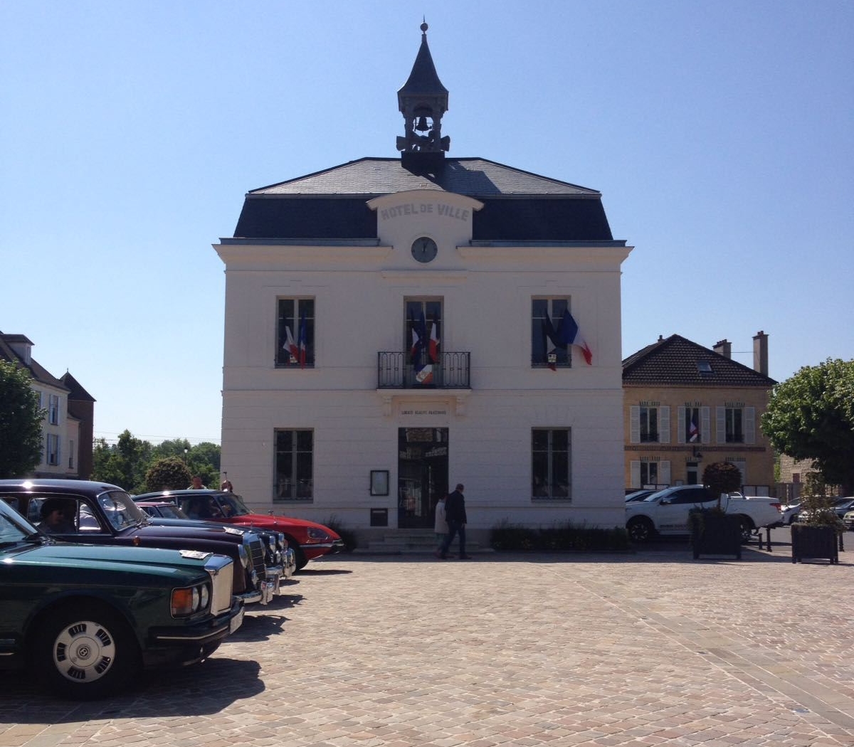
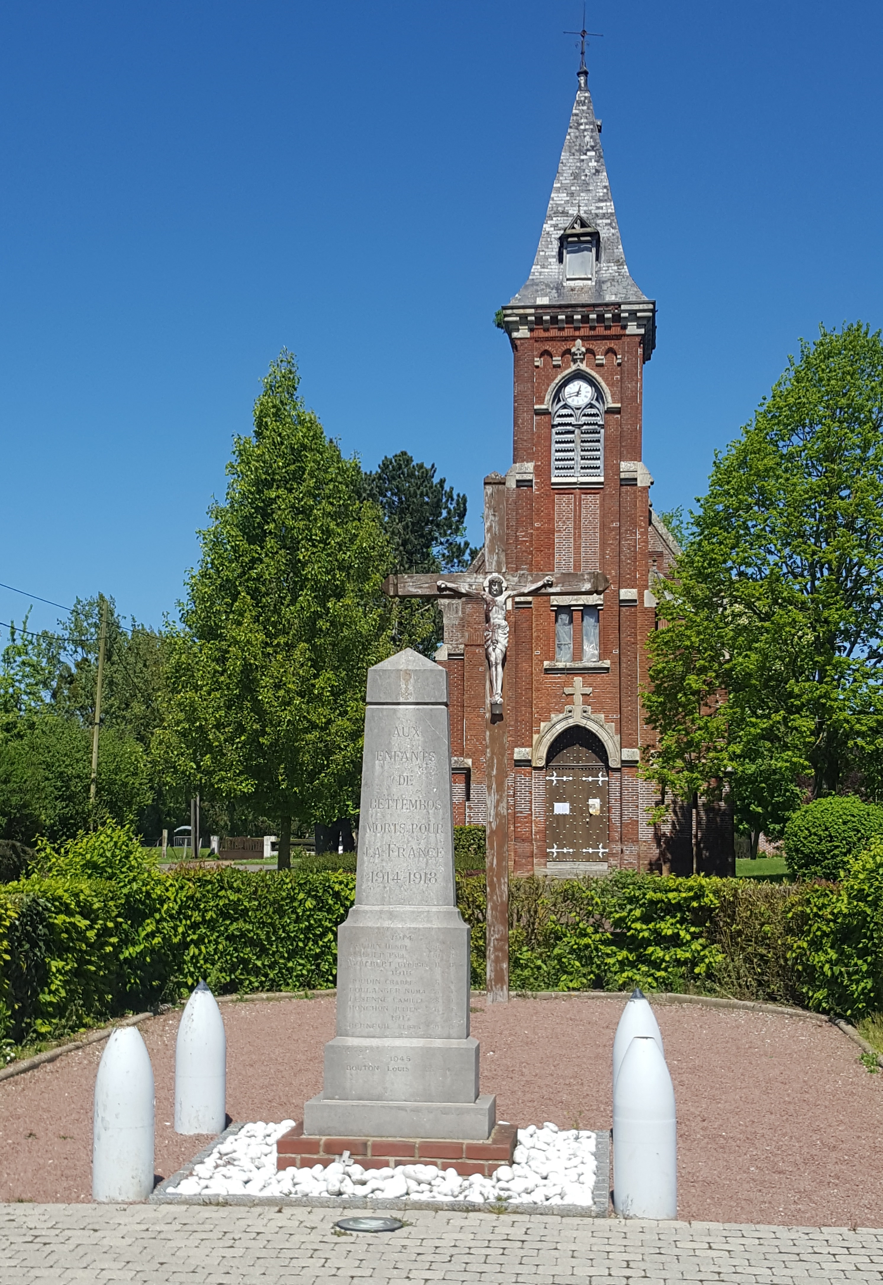
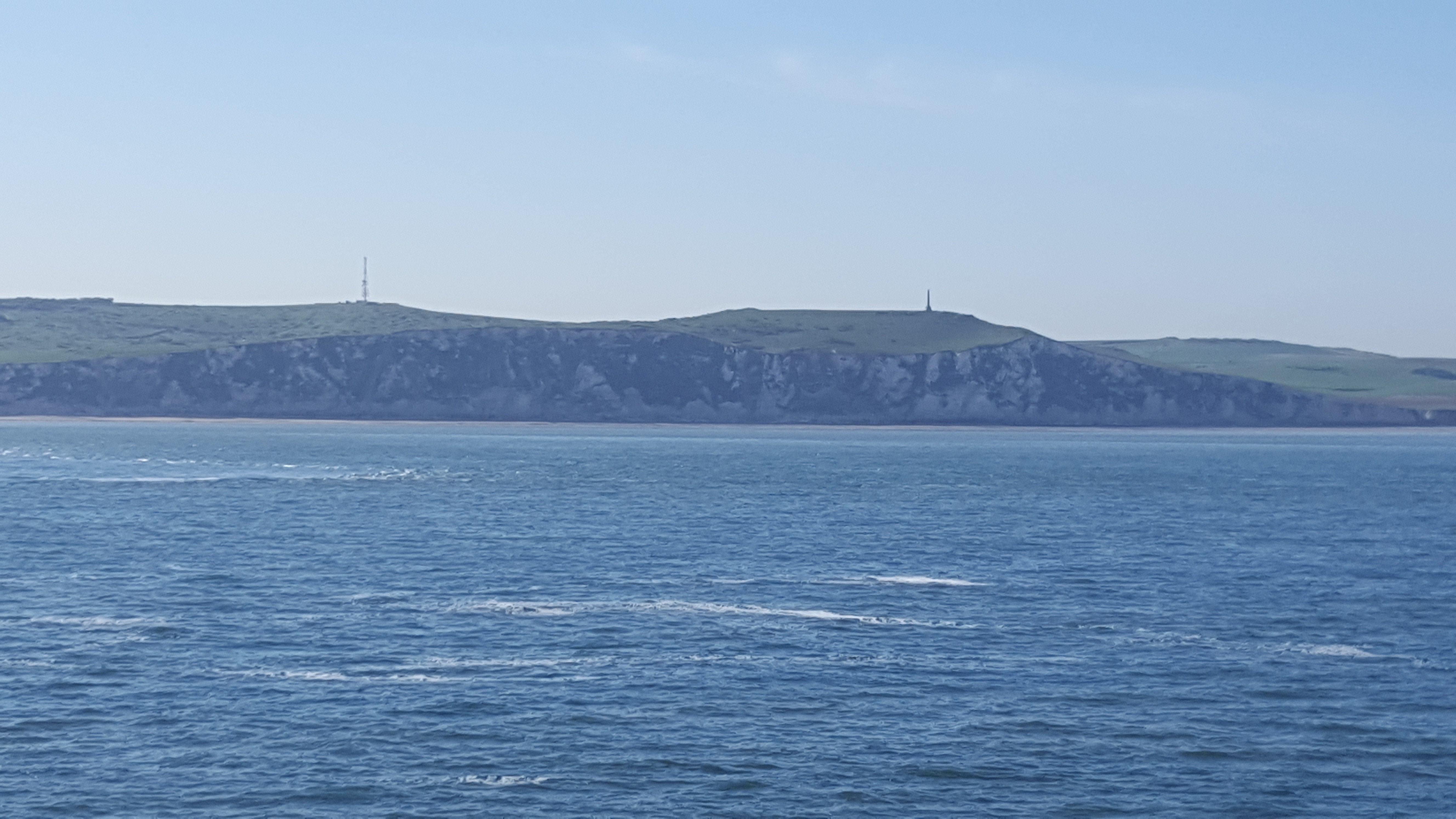
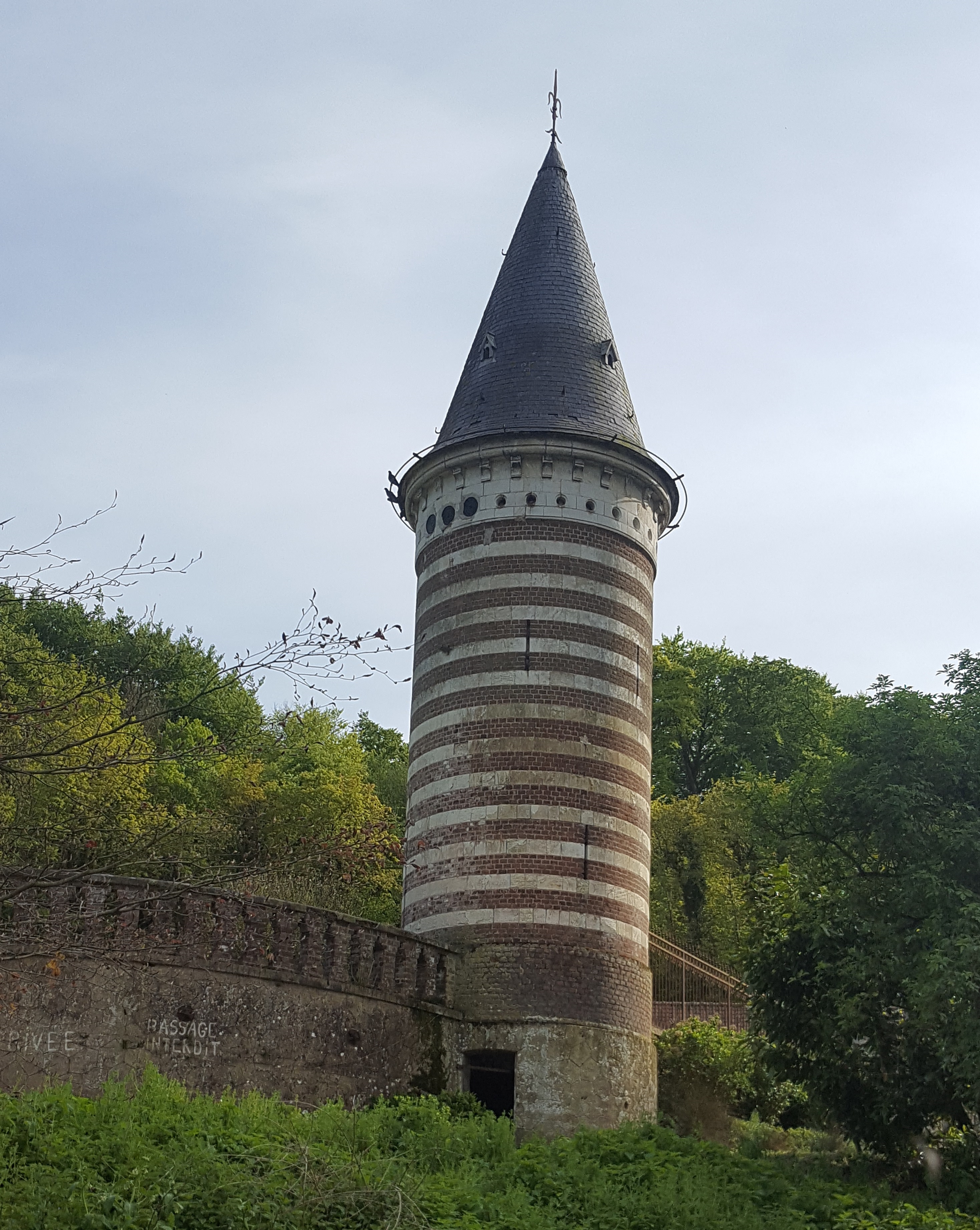
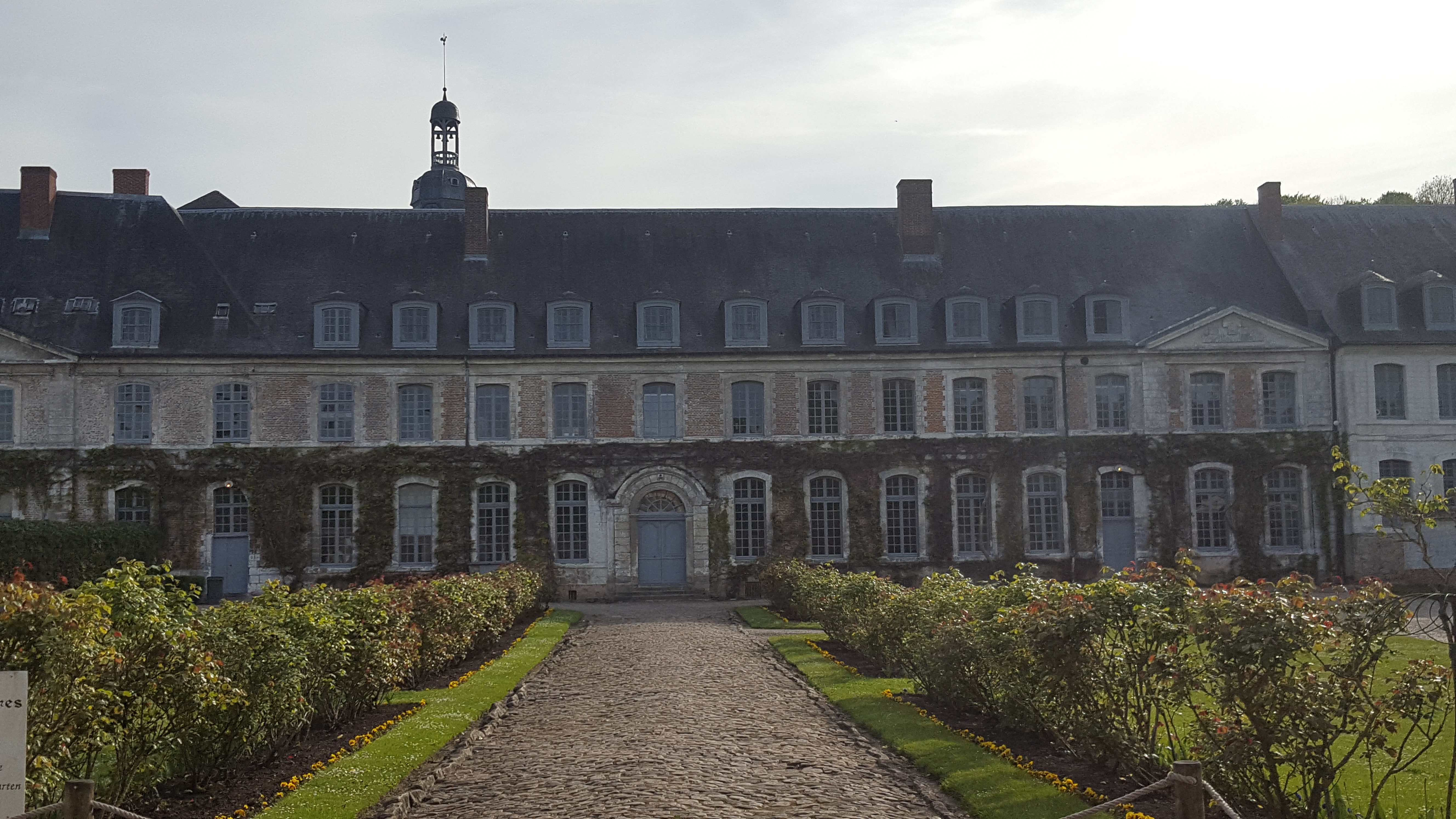
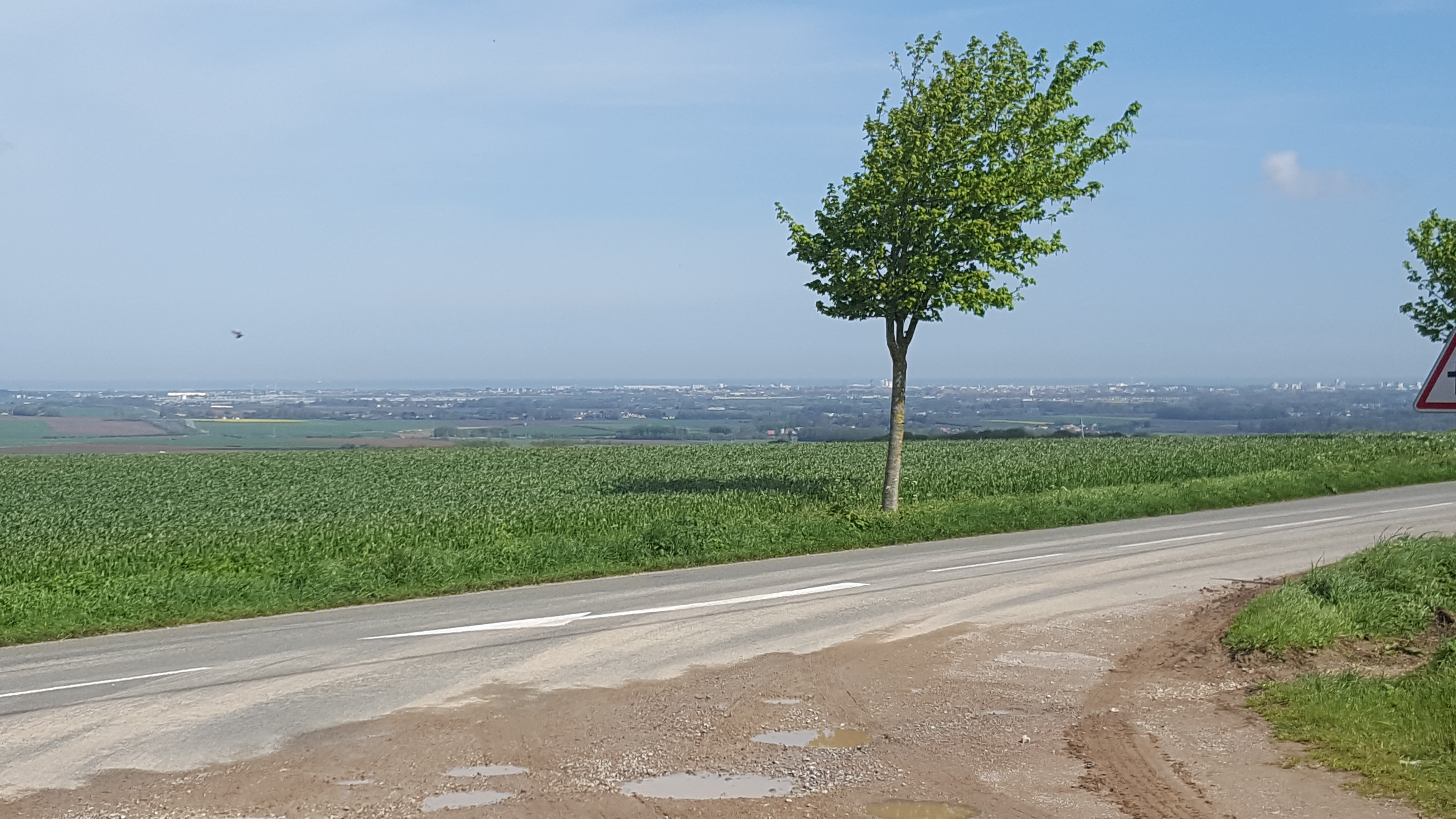 We left Calais and headed for Guines. There was a 3km climb to an old water tower to navigate where we had planned to stop for a break. The climb was tough on the legs after the day before, but the road we were cycling along and the scenery was perfect. We stopped in the market square in Guines and headed for the local boulangerie for lunch. The town has a lot of history, one of the most notable was at the field of the Cloth of Gold. The meeting between Henry Vlll of England and Francois I of France. The only thing I would recommend they sort out is the toilet facilities, one portaloo!